Archive:

Conference Rationale

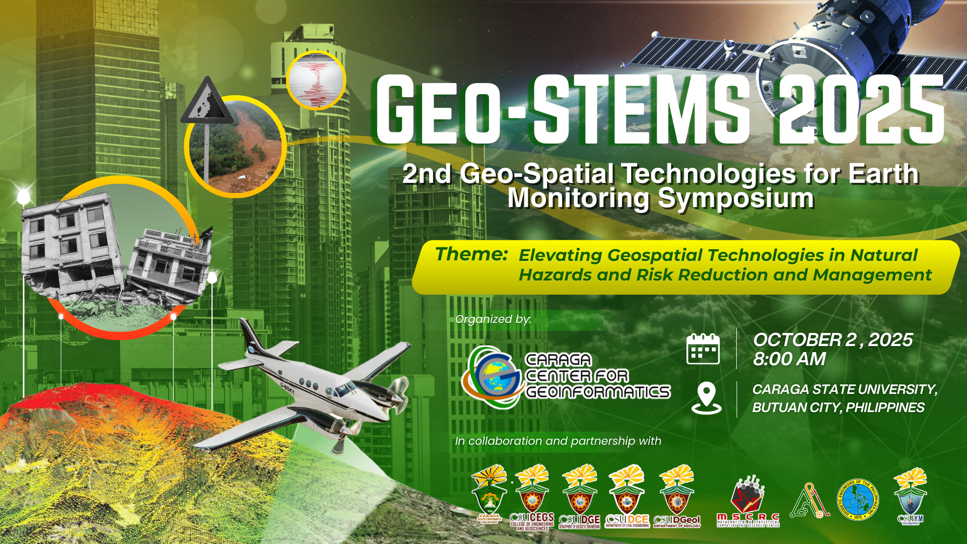
2nd International Geo-STEMS: GeoSpatial Technologies for Earth Monitoring Symposium 2025

GeoSpatial Technologies for Earth Monitoring Symposium, or Geo-STEMS, is an annual event that brings together experts, researchers, end-users, and enthusiasts in geospatial technology and earth observation to explore recent advancements in Remote Sensing, Photogrammetry, and Spatial Information Sciences for Earth monitoring and analysis. Discussions will center on advancing understanding and managing dynamic Earth systems, fostering sustainable solutions.

For the 2nd Geo-STEMS (2025), the thematic emphasis is on “Elevating Geospatial Technologies in Natural Hazards and Risk Reduction and Management.” Attendees will learn from international experts engaged with cutting-edge innovations in hazards and risk management, leveraging geospatial techniques like satellite imagery analysis and GPS mapping. The symposium critically assesses the intersection of technology and environmental stewardship, guiding the future trajectory of hazard and risk management toward sustainable, resilient, and efficient practices using geospatial technologies.

Objective:

  1. Promote awareness and understanding of recent advancements in geospatial technologies, specifically in Remote Sensing, Photogrammetry, and Spatial Information Sciences, for Earth monitoring and environmental management.
  2. Highlight the critical role of geospatial tools in the analysis, monitoring, and mitigation of natural hazards and risks, with emphasis on satellite imagery, GPS mapping, and related spatial technologies.
  3. Facilitate knowledge exchange among international experts, researchers, professionals, and stakeholders to strengthen collaborations in applying geospatial solutions to hazard assessment and disaster risk management.
  4. Showcase innovative applications of geospatial technologies in real-world hazard scenarios, demonstrating how these tools contribute to sustainable and resilient environmental practices.
  5. Encourage interdisciplinary dialogue between geospatial practitioners, environmental scientists, and decision-makers to align technological developments with effective environmental stewardship and sustainable planning.

Venue

Hero Activity Loft and Zoom

We're excited to share with you our Program for this event. Click the button for more details!

Be a part of the movement for a sustainable and innovative future! Whether a researcher, innovator, or industry expert, this summit is your chance to contribute to meaningful change.

SUB CONFERENCES

Contact Info

From Vision to Impact:
Driving Sustainable Futures through Research and Innovation

© 2024 Caraga State University, All Right Reserved.